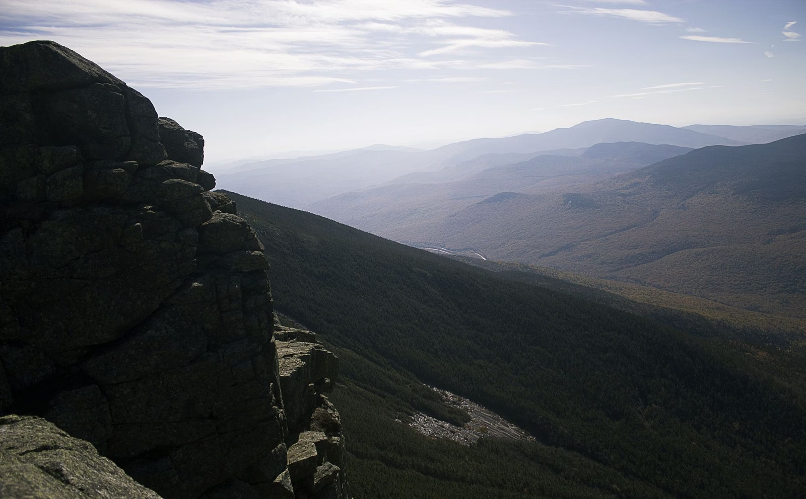
Franconia Ridge Loop & Mount Lafayette
The Franconia Ridge Loop is an 8.9-mile hike over the high ridge above Franconia Notch and Mount Lafayette. NH State Parks puts it at 7 to 8 hours. It climbs around 4,000 feet, and NH State Parks calls it extremely strenuous. The loop starts at the Falling Waters and Old Bridle Path trailhead off I-93. Important: as of September 22, 2026, part of the Falling Waters Trail near Cloudland Falls has been moved. Phone apps may still show the old route. Download the state's relocation map before you go.
The Ridge Loop at a Glance
The Falling Waters Trail Relocation (September 2026)
NH State Parks moved a section of the Falling Waters Trail on September 22, 2026, as part of a five-year restoration effort on the Franconia Ridge Loop. The new section rejoins the old route just past the Dry Brook crossing. The state warns that mapping apps may not be accurate and may not show the change.
- Download the relocation map (PDF) from NH State Parks. The new alignment is drawn in red; closed sections and a spur trail to the falls are marked.
- Follow the blazes and signs on the ground, not the old line on your phone.
- Stay off the sections the map marks as closed.
The state's trail maps page carries the latest notice. Restoration work is ongoing on the loop, so expect more changes over the five years.
The Route
The loop links two trails that share one trailhead off I-93, joined at the top by the ridge itself.
- Falling Waters Trail: passes Cloudland Falls, where the 2026 relocation is. The relocation map shows a spur trail to the falls.
- Franconia Ridge: the high section between the two trails. NH State Parks warns hikers here to be ready for adverse weather.
- Old Bridle Path: the other leg, which passes the Appalachian Mountain Club's Greenleaf Hut below Mount Lafayette. AMC puts the hut 2.9 miles up the Old Bridle Path from the trailhead.
Which direction to hike is your call. For trail-by-trail descriptions, NH State Parks points hikers to the AMC White Mountain Guide.
How Hard Is It?
Hard. NH State Parks calls the loop extremely strenuous and says it should only be tried by people ready for a long day and possibly bad weather. Its two published figures differ a little: the park brochure gives 8.9 miles and 7 to 8 hours, and the hiking page gives "just over 8 miles with around 4,000 feet of elevation gain." Either way, it is the biggest day hike in the Notch.
The state's Hike Safe program asks every hiker to carry the knowledge and gear for the terrain and weather, leave plans with someone, stay together as a group, and turn back when conditions change. On an exposed ridge, that last point matters most: the state's hiking sheet warns that weather in the mountains changes suddenly and darkness falls quickly.
Parking and the Hiker Shuttle
Parking is the hardest part of this hike on a summer or fall weekend. There are two ways in, one from each side of the highway:
- Northbound on I-93: the Old Bridle Path / Falling Waters trailhead pull-off. Limited spaces.
- Southbound on I-93: the hiker lots at Lafayette Place. A tunnel takes you under the highway to the trailhead. Hikers may not park in the campground itself.
- Overflow: the Aerial Tramway lot at Cannon Mountain, Exit 34B.
In 2026 the state runs a paid hiker shuttle on Saturdays, Sundays and holidays from May 23 to October 18, 8am to 7pm. It costs $5 per person round trip (keep your ticket), takes cash or card, and allows well-behaved dogs for free. It picks up at the Tramway overflow lot, drops off at Lafayette Place on the southbound side, and picks up at the Falling Waters / Old Bridle Path trailhead on the northbound side. Parking along I-93 is illegal at any time. More on all lots: parking.
Greenleaf Hut
AMC's Greenleaf Hut sits on the Old Bridle Path below Mount Lafayette. AMC runs it with full meals from June to mid-October and with caretakers for a short spring season; it is closed in fall, winter and much of spring and cannot be used as an emergency shelter in winter. Overnight stays are booked with AMC. AMC says its dining room is open as a common space to day visitors as well as overnight guests. For a gentler hut hike, see Lonesome Lake.
Dogs
NH State Parks allows leashed pets on hiking trails in Franconia Notch (leash no longer than 6 feet). Think hard before bringing a dog on a 7-to-8-hour ridge hike. See rules.
Good For
- Fit, experienced hikers with a full day and a clear forecast.
- Anyone who has done Lonesome Lake or Mount Pemigewasset and wants the next step up.
Maybe Skip If
- The forecast calls for storms, wind or low clouds. Check mountain weather and pick a lower hike like Lonesome Lake.
- You want a view without a full day. Artists Bluff is a 1.5-mile loop.
- You're hiking with young kids. Try the Basin or the Flume Gorge.
Franconia Ridge
Franconia Ridge FAQ
How long is the Franconia Ridge Loop?
NH State Parks' brochure gives 8.9 miles and 7 to 8 hours. Its hiking page says "just over 8 miles" with around 4,000 feet of elevation gain.
Did the Falling Waters Trail change?
Yes. As of September 22, 2026, NH State Parks relocated part of the Falling Waters Trail near Cloudland Falls as part of a five-year restoration of the Franconia Ridge Loop. It rejoins the old route just past the Dry Brook crossing. Mapping apps may not show it yet.
Where do you park for Franconia Ridge?
Northbound on I-93, use the Old Bridle Path / Falling Waters trailhead pull-off. Southbound, use the hiker lots at Lafayette Place and walk through the tunnel under the highway. Overflow is at the Cannon tram lot, Exit 34B. Parking on I-93 is illegal.
Is there a shuttle for Franconia Ridge hikers?
In 2026 NH State Parks ran a $5 round-trip hiker shuttle on weekends and holidays from May 23 to October 18, 8am to 7pm, between the Tramway overflow lot and the trailheads.
How hard is the Franconia Ridge Loop?
NH State Parks calls it extremely strenuous, with around 4,000 feet of climbing. Only start it with a full day, good gear and a good forecast.
Is Mount Lafayette on the Franconia Ridge Loop?
Yes. The loop uses the Old Bridle Path, which passes AMC's Greenleaf Hut below Mount Lafayette, and the Falling Waters Trail.