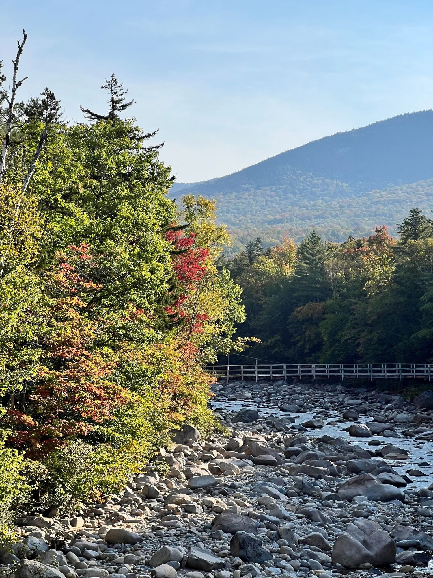
Franconia Notch Trail Map
The official Franconia Notch trail map is NH State Parks' 2026 hiking map (PDF), and its attractions map shows every exit, pull-off and sight along the 8-mile parkway. Download both before you go. The state warns that mapping apps may not show the September 2026 change to the Falling Waters Trail. For that change, use the state's separate relocation map, with the new route in red.
Maps at a Glance
The Official Maps
- Hiking map (2026): the park's trail map, with the state's hiking sheet describing the family hikes: Artists Bluff and Bald Mountain, Lonesome Lake, Kinsman Falls and Mount Pemigewasset.
- Attractions map (May 2026): the whole Notch from the Flume to Echo Lake, with Exits 34A, 34B and 34C, the parkway pull-offs, hiker parking, both ends of the recreation trail and short histories of each sight.
- Falling Waters Trail relocation map (September 2026): the new alignment, closed sections and the spur trail to the falls.
- Flume Gorge map: the 2-mile loop and every stop on it.
- Lafayette Place Campground map: the campground layout.
- Park brochure: an operations schedule, drive times and a simple map of the exits.
The state's trail maps page carries the newest versions and any trail notices.
How the Notch Is Laid Out
Think of the park as a line. I-93 runs 8 miles through the Notch as a parkway between the Kinsman Range and the Franconia Range, with the paved bike path beside it. The Flume Gorge is at the south end (Exit 34A). The Basin, Lafayette Place, Boise Rock and Profile Lake sit in the middle, reached from small pull-offs. The Cannon tram base and the Old Man site are at Exit 34B, and Echo Lake and Artists Bluff are at the north end, Exit 34C.
Trails and Distances
These are the distances NH State Parks publishes for the main routes. Each links to its own guide.
- Flume Gorge Loop: 2 miles, loop.
- Artists Bluff and Bald Mountain Loop: 1.5 miles, loop.
- Basin-Cascades Trail to Kinsman Falls: 0.5 mile, one way.
- Lonesome Lake Trail: 1.5 miles, one way.
- Mount Pemigewasset Trail: 1.4 miles, one way.
- Franconia Ridge Loop: 8.9 miles, loop.
- Franconia Notch Recreation Trail (bike path): about 20 miles, round trip.
Trails Beyond the Park
Many routes that start in Franconia Notch climb into the White Mountain National Forest, and the park page invites visitors to hike the Appalachian Trail from here. For those, NH State Parks points hikers to the AMC White Mountain Guide and to the visitor center cabin at Lafayette Place, which has trail and safety information.
Why There's No Map Drawn on This Page
A redrawn map goes out of date the day a trail moves, as the Falling Waters Trail did in September 2026. The state's PDFs are the ones it updates, so we link them rather than copy them. For help choosing a hike, see hiking in Franconia Notch; for where to leave the car, see parking.
Trail Map FAQ
Where can I get a Franconia Notch trail map?
NH State Parks publishes a 2026 hiking map and an attractions map as PDFs on its Franconia Notch page. Download them before you go.
Is the Falling Waters Trail on the old maps correct?
No. Part of the Falling Waters Trail was relocated on September 22, 2026. Use NH State Parks' relocation map; the state warns that mapping apps may not show the change.
Is there a map of the Flume Gorge?
Yes. NH State Parks publishes a Flume Gorge map (PDF) showing the 2-mile loop and its stops.